Štefanová: the best hikes and trips from one of the loveliest parts of Terchová
Štefanová is the main trailhead in the Vrátna valley: Rozsutec, Stoh, Osnica and Jánošíkove diery, parking, buses and which hike to choose for your fitness.
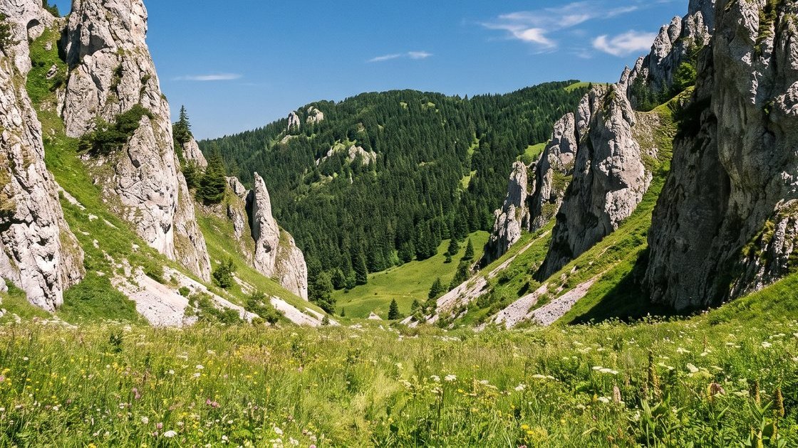
Illustrative image of the area
If Terchová has a hiking heart, it beats in Štefanová. The hamlet sits below Veľký Rozsutec, and most waymarked trails to the peaks of the northern Vrátna valley start here. From a single car park you can head somewhere different every day, from a family loop to a full-day summit.
Getting to Štefanová
- By car: 8.1 km from Chata Ranto in Nižné Kamence, about 17 minutes. There is a paid car park in the hamlet.
- By bus: SAD Žilina, but only services marked Terchová, Vrátna. In Štefanová the stop is right by the trailheads.
More about getting into the valley in Vrátna valley.
Hikes by fitness level
Easy going
- The Štefanová to Diery nature trail: a loop via the Vrchpodžiar saddle, Podžiar, Dolné diery, Ostrvné and Nové diery back to Podžiar and Štefanová. About 3 km and 185 m of ascent with ten boards about nature; the municipality lists it as suitable for families with children too. There are ladders in Nové diery.
A full day
- Stoh: green to the Medziholie saddle, red to the summit, then yellow towards Poludňový grúň to Chata na Grúni and blue back. 11 km in up to six hours; the municipality says you can do it with children.
- Osnica: 10.3 km, 4 hours 15 minutes and 747 m of ascent; the resort grades it 4 out of 5.
For fit hikers
- Veľký Rozsutec: from Štefanová via Medziholie, about 5 km with 980 m of ascent; the loop through Horné diery is 10 km and five and a half hours. Details in Veľký Rozsutec.
- Malý Rozsutec: the traverse through Horné diery and Medzirozsutce to Biely Potok, about 9 km and 4 hours. More in Malý Rozsutec.
- Horné diery: about half an hour from Štefanová to Podžiar, then up the gorge to the Medzirozsutce saddle and back on the green waymarks.
Stoh: a grassy summit with the widest view
According to the municipality, Stoh is 1,607 m high, with a grassy summit. From the Medziholie saddle it takes about an hour and a quarter. In good weather you can see Veľký Rozsutec, Poludňový grúň, Veľký Choč, Šíp, the Western Tatras and Kráľova hoľa. On the descent via Poludňový grúň, Chata na Grúni is on hand for food and drink.
Osnica: the quiet peak
Osnica is one of the less visited peaks of the Malá Fatra. It is 1,362 m high, with a grassy summit, a rocky outcrop and views of Veľký Rozsutec, the Low and Western Tatras, Babia Góra and Veľký Choč. According to the resort it can be reached all year from Štefanová, Párnica and Zázrivá, and the climb tests your stamina more than your navigation.
Medziholie: the crossroads below Rozsutec
The Medziholie saddle at 1,185 m is where you make your choice. In one direction the red waymarks lead to Veľký Rozsutec, in the other to Stoh. From 1 March to 15 June the section between Medziholie, Veľký Rozsutec and Medzirozsutce is closed; the red route towards Stoh is not part of the closure.
Podžiar
The Podžiar junction is about half an hour from Štefanová. The nature trail, all three parts of the gorges and the routes to the Rozsutec peaks meet here. In summer a snack bar in a wooden hut is usually open. Everything about the gorges is in our guide to Jánošíkove diery.
Štefanová as a day trip from the cottage
Chata Ranto is under twenty minutes by car from Štefanová, so you can pick your hike in the morning according to the weather and be back by the fireplace in the evening. The yard holds about ten cars, so all you need to agree in the morning is who drives whom.
Frequently asked questions
How do I get to Štefanová?
By car from Terchová through Tiesňavy; the hamlet has a paid car park. By SAD Žilina bus, on a service marked Terchová, Vrátna.
Which hikes start in Štefanová?
Veľký and Malý Rozsutec, Stoh, Osnica, Horné diery and the nature trail into Jánošíkove diery.
What is the easiest hike from Štefanová?
The Štefanová to Diery nature trail. It is about 3 km with 185 m of ascent, and the municipality lists it as suitable for families with children.
Is Stoh suitable for children?
The municipality says you can do it with children. Bear in mind, though, that the loop is 11 km and takes up to six hours.
Is there a car park in Štefanová?
Yes, a paid one. Prices are displayed on site.
How far is Štefanová from Chata Ranto?
8.1 km, about 17 minutes by car.
Related articles
-
· 4 min read
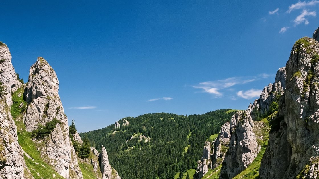
Veľký Rozsutec: one of the finest hikes in the Malá Fatra
Veľký Rozsutec (1,610 m): four routes to the summit from Štefanová, Biely Potok and Zázrivá, chains below the top, the spring closure and who the climb suits.
Read the article -
· 4 min read
Malý Rozsutec: route, views and linking it with Jánošíkove diery
Malý Rozsutec (1,343 m): the climb from Biely Potok, a quieter route from Zázrivá, the traverse from Štefanová and the detour from Horné diery, with chains and views.
Read the article -
· 5 min read
Vrátna valley: a complete guide to trips and hiking
The Vrátna valley from Tiesňavy to the ridge: getting there, the cable car to Snilovské sedlo, hikes to Kriváň, Chleb, Stoh and Rozsutec, and family trips.
Read the article